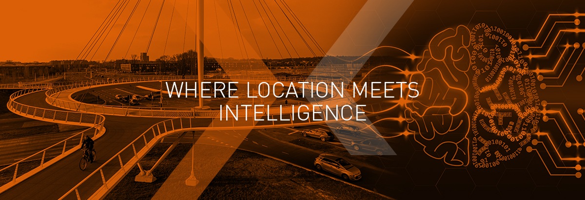
Why GeoJunxion?
Building on decades of experience in mapping, GeoJunxion is focusing on high value, dynamic content and building environmentally conscious applications, which enrich safety in everyday life. With location-aware content at our core, we know where our strengths lie and have the know-how and technology needed to offer unrivalled, intelligent products and services.

Then, Location Intelligence Services or custom data search, data collection, aggregation and consolidation, Geo-analytics and data normalisation and deployment to enhance the maps of our B2B customers and create a better and richer user experience for their clients.
Last but not least, Location Aware Content, which is essentially the most traditional part of our offering, with global digital maps, administrative and geo-boundaries, map tile services, addresses, Geo-Coder and ZIP code database, including ZIP+4 in the States.
A Comprehensive Portfolio
The GeoJunxion portfolio falls into three main strategic pillars.
Firstly, our Premium Location Aware Content suite includes:
Eco Alert Zones: aggregated information and polygons on areas created by local governments to reduce traffic congestion and improve air quality and with restricted or fee-paying access. This includes congestion areas, low emission zones for light and heavy vehicles, pedestrian and ZTL areas, which are traffic limited zones.
Safety Alert Zones: smart polygons, time and weather dependent, around areas with higher probability of accidents in certain specific conditions, such as tunnels, bridges, accident prone areas, Schools and Kindergarten surroundings (School Safety Zones) or playground areas and many more.
Health Alert Zones: aggregated information on COVID-19 statistics with unique and very localised risk evaluation scores across several countries – however those are now evolving to contain other health risk, such as air quality and noise pollution areas for instance.
Trusted Expertise and Technology
We have a well established reputation across the industry for delivering effective and easily integrated technology, fast turn-around and excellent customer service. We provide our customers in global tech, local government, logistics and urban planning with data they can use in mobile maps. Typically, customers are mobility solution providers, map aggregators, VARs, navigation solution enterprises and mobile app providers.


Versatile Applications
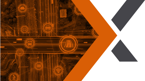
As the market for location-aware products and services continues to expand, it brings new opportunities and use cases for our content. To name just a few: e-horizon, government, IoT, smart city and real estate planning, travel guides, mobile apps, HD maps, geo-marketing, geo fencing, geo-caching, routing, map display, asset tracking and logistics.
“The GeoJunxion Geo-coder is always very current, with new streets or buildings quickly incorporated.
We have not found this level of accuracy in any other competitive solution.”
Henk-Jan Kienhuis, Director Owner, Transscope Vehicle Systems
Contact Us
Please get in touch for more information, a product demo or to discuss your specific requirements. GeoJunxion is where
location applications meet intelligence and technology. We can help you build the right services and engaging experiences.
OUR CLIENTS INCLUDE
Previous
Next